
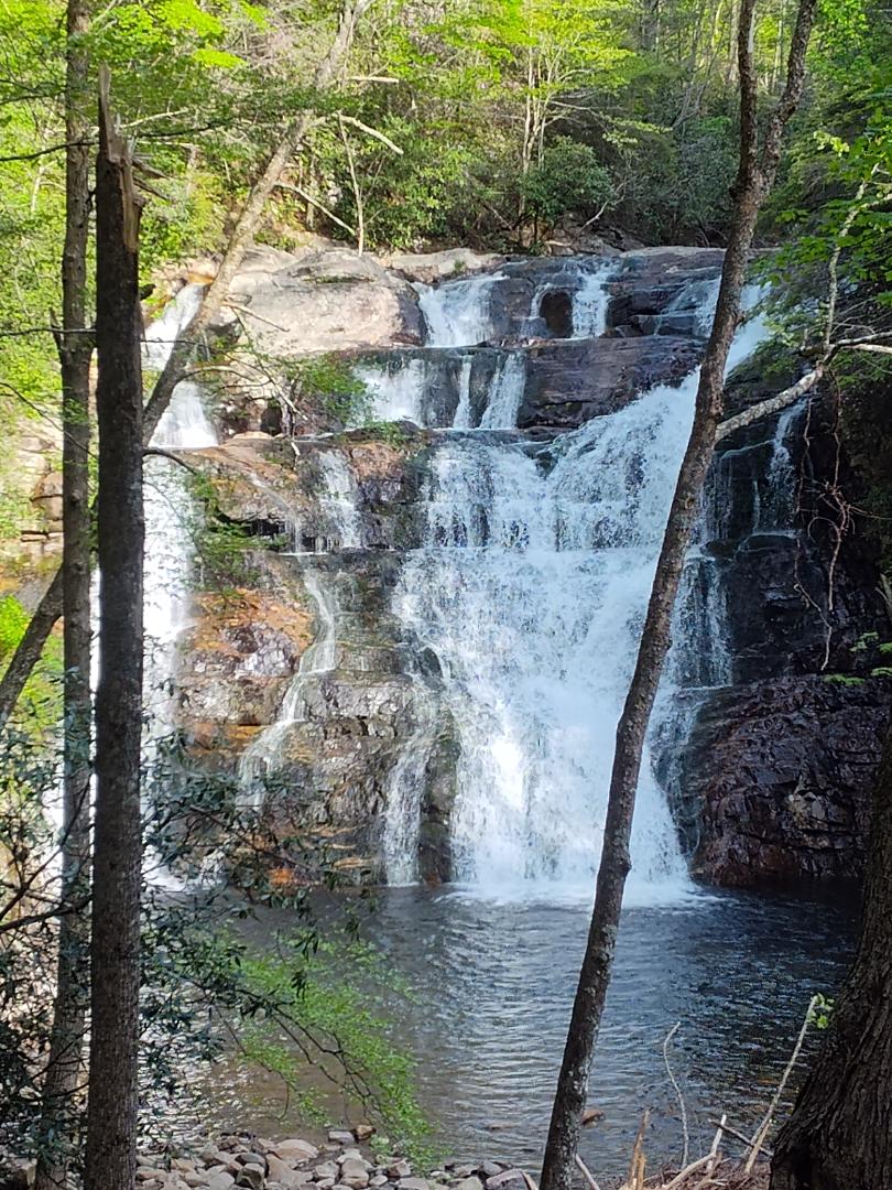
Laurel Falls
Starting mile 416.4
I meant to get up and start moving by 6:30 this morning but then didn’t get out of my hammock until a little after 7. Luckily, I can pack up and get on the trail quickly, so I set out at 7:20. The plan for today is to do about 21 miles. Then tomorrow I will do about 23, and then Wednesday and easy 10 into Damascus and back into Virginia.
The day started out with a quick uphill before a nice long downhill into a Gap. I really wish I had gone a little further yesterday because over the three or so miles down to Dennis Cove there were tons of great camp sites. I tend to find the best camp sites before lunch.
After crossing the road, I entered Pond Mountain Wilderness and would be in it for the rest of the morning. I followed the Laurel Fork through a beautiful gorge. There were flowers blooming and the river rushing. It was really a wonderful morning.
Once I made it through the gorge, I had to do a 2,000 foot climb up and over a mountain just to circle back to Watauga Lake. We could have gone a couple of miles around the base and ended up in the same place a lot quicker. It was the definition of pointless up and down.
I walked about four miles around the lake. It was a great trail that went most of the way around the lake. There were a lot of day hikers enjoying the trail. There were also a good number of people out on their boats for a weekday. I made my way all the around to the dam and then went up the access road.
This led me to my second pointless climb up and over a hill just to reconnect with the road. Someone at the shelter was saying that they missed the turn and just hiked the road. I was a little jealous that they missed that 400-foot climb.
After crossing the road, I took a quick break before my 1,800-foot climb to the shelter. It was a long slog up to the next water source. I downed a liter of electrolytes and headed up the last 1.7 miles to the shelter. When I got there, I realized there was nowhere I could hang my hammock, so I threw my pack back on and moseyed on down the trail.
The trail switch backed down the western side of the ridge. This was great because the wind was coming from the other side. About 0.3 miles after the shelter, I found a couple of trees to hang from about midway between two of the switchbacks. I better not fall out, or I’ll roll about 15 feet down to the trail.
All in all, not a bad day. I did 21.9 miles with about 5,000 feet of elevation gain. I’m going to try to get out early tomorrow for a long day.
Ending mile 438.3
Comments
3 responses
https://shorturl.fm/irzqb
https://shorturl.fm/Ci2lP
Here’s hoping you stayed in that hammock. lol