
“Jump Up Lookout” – Nantahala Outdoor Center
Starting mile 124.2
Today I got up early from Burningtown Gap because I wanted to get to the Nantahala Outdoor Center (NOC) for lunch. I was hoping to get there about 1230 to 1.
I got on the trail just after 7 am for a 700-foot climb up to where I had hoped to make it last night. It was a chilly morning with the temperature dropping down to about 38. The best thing to warm you up in the morning is a good climb, so I was stripping down layers within 10 minutes.
I made the 1.3 mile climb in about 45 minutes. When I got to the top I found some thru hikers still bundled up in the shelter having breakfast. No one had yet left camp, so it looked like I was going to take the lead.
From here the trail wound up and down with a general downhill grade. When I crossed the road at Teleco Gap I had gone four miles, so I took a breakfast break. This left one good climb for the day up to Wasser Bald. This had a couple of steep sections, but I was able to make it to the top by 10 am, right on schedule.
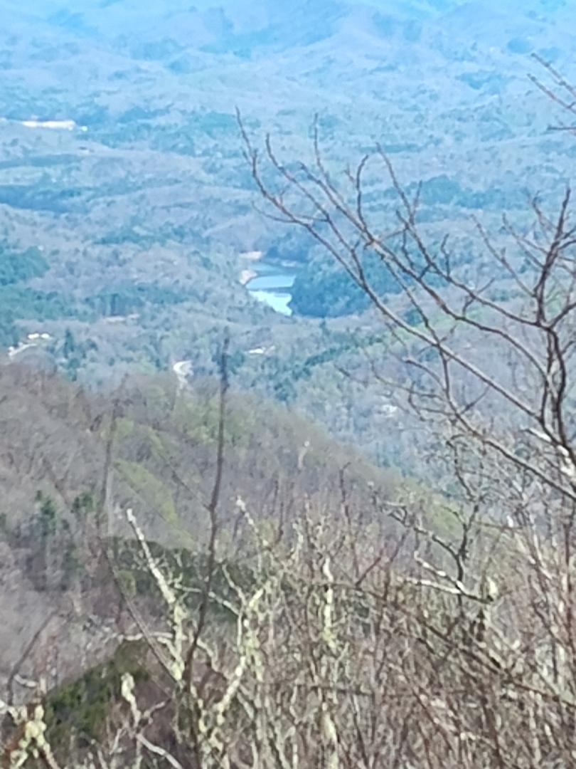
The last 6.5 miles started with some ups and downs while I hugged the top of the ridge. It was from this ridge that I first saw the NOC, my goal for the morning. After the ridge walk that gave me a lot of great views, I had a long steep decent down into town.
I made it down just after 1 pm, not a bad morning. I first grabbed a Gatorade and headed to the restaurant. I had a pizza and soda the really hit the spot. After lunch I went down to the water to watch the kayakers. This is when I ran into my first thru hikers since the shelter in the morning. We chatted for a while before they headed out to start the long climb out of the NOC.
After they left I decided to look around. While I was doing this I stopped at the Outfitters and picked up my Great Smoky Mountain’s permit. I can now enter the park on Thursday. I went back to enjoy a beer and watch the kayakers again.
I looked down and noticed it was already 4 pm and I needed to get going. The nearest shelter is seven miles away and 3,500 feet of elevation gain, so as I left, I figured I would start climbing and start looking for somewhere to hang my hammock about halfway up. I found a nice place just up from the trail and set up there. I’m so glad I don’t need to find a flat place to set up.
This was another nice day of hiking by myself. I’m starting to wonder where all the thru hikers are? I ended up doing 16.3 miles with about 4,300 feet of elevation gain. I’m really starting to feel like I’m getting my trail legs, just in time for the Smokies.
Ending mile 140.5
Comments
One response
yeah your gonna have some cold mornings this week.